
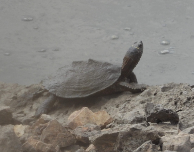
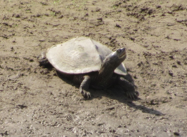
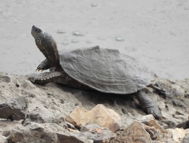
While out and about in southern Illinois, I saw a few examples of this turtle basking along waterways. It is a medium-sized species with a prominent keel along the center of the upper shell and thin yellow lines on the head, neck, and limbs. A yellow marking behind each eye extends upward and then backward, approximately forming a right angle or “L” shape. However, these yellow markings can vary among individuals.
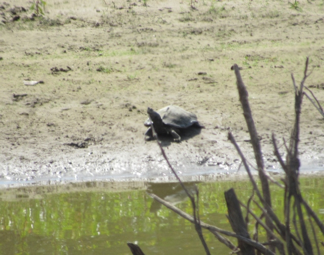
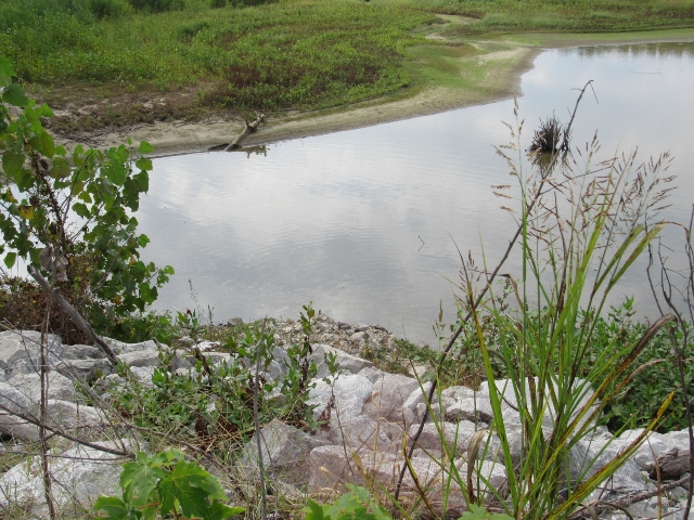
Large rivers and their backwaters are the preferred aquatic habitat for Northern False Map Turtles. The species also occurs in river sloughs, oxbow lakes, lakes, and reservoirs. On the Mississippi River, False Map Turtles particularly prefer the main channel of the river, especially around wing dikes. A muddy bottom, some aquatic vegetation, and numerous basking sites are important habitat requirements.
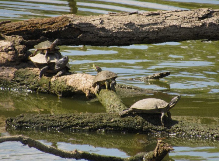
Map Turtles of all species are avid baskers, spending many hours during the day in the sun. When with other turtles, they also are very communal, sharing space and using each other for predator-watching, increasing the odds of surviving an attack. In this photo, one was basking on top of a Red-eared Slider.
False Map Turtles will overwinter at the bottom of lakes and sloughs, in muskrat dens, or under rocks and logs. Mating occurs in the water during the Spring. Females dig nests in open, sandy areas and deposit between 8-22 eggs per clutch during the summer; females can lay 2-3 clutches. The young emerge after 69-75 days.
Females are twice the size of males with ranges of 5 to 10 inches and 3 to 5 inches, respectively.
Map Turtles get their name due to the patterning on their shells, especially in young individuals, where the concentric yellow lines look like a topographic map. This reptile is also know as a “Sawback Turtle,” due to the projections on its upper shell.